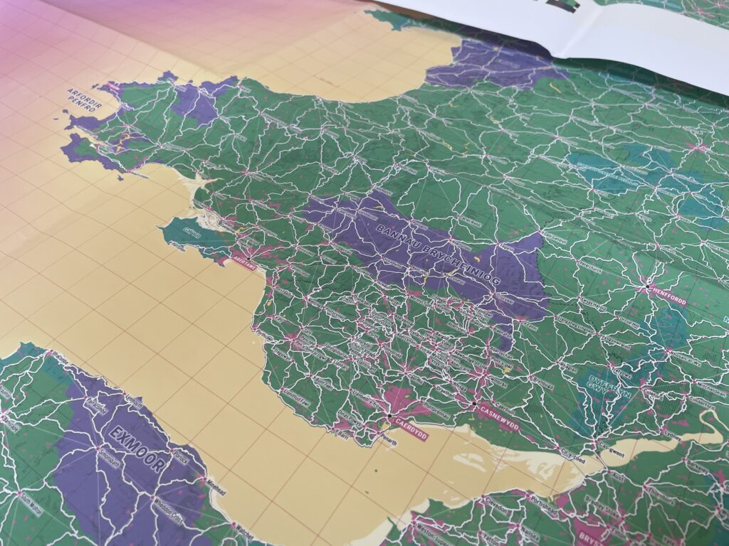
The Welsh and Scottish Gaelic languages appear together on our brand new map
This is the most comprehensive contemporary map of Welsh and Gaelic place names, including for places in England where known (these are called exonyms). These names each tell a story – of communities, heritage, livelihoods, the movement of people and their interaction with their landscapes. The beautiful maps have been made for Slow Ways by Charlie Peel at Urban Good.
Slow Ways is a wide-reaching, transformative walking network that connects 2500 communities with all of their neighbours, by identifying the most direct and enjoyable walking routes. These routes allow people to connect with their communities and landscapes in the slower and more thoughtful way that walking or wheeling allows. It is a network for joy, ideas, dreams and connections as well as mental and physical health, travel, the environment and the pocket.
The map of the network already exists using names for places as they are on OS maps. The names of Britain are of course a rich mixture of phonetic spellings of Gaelic or Welsh, and we also have Saxon, Norman, Pictish and Norse place names all across the countries.
We felt that it was very important to take this extra step, so that the network reflects the names, where known, in the indigenous languages of Welsh and Scottish Gaelic. The network is being created by thousands of people who are walking and checking routes every day, all over Great Britain. It is a grass-roots, crowd-sourced, community-verified network, and as such must reflect the local understanding of the land.

We are so excited to be presenting these lovely maps. Thank you to:
- tireless Charlie at Urban Maps
- Jake at Ainmean-Àite na h-Alba (Gaelic Place Names of Scotland)
- Manon at the office of the Welsh Language Commissioner